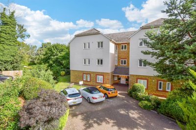
Tonbridge and Malling covers a large West Kent borough rather than a single town. Tonbridge is the main urban centre, with around 40,000 residents, while West Malling, East Malling, Hadlow and Hildenborough each have their own buyer patterns. The borough population was about 132,200 in 2021 and reached an estimated 136,853 in 2024. By 2042, population growth is expected to be 23.5%, with the elderly population expected to rise by 47.9%.
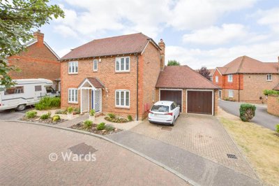
Rail and road patterns shape demand. Tonbridge station is a key selling point for homes in TN9 and TN10, while West Malling station supports demand around Kings Hill, Larkfield and East Malling. The A21 serves the Tonbridge side of the borough, and the M20 corridor affects buyer behaviour around Larkfield, Aylesford and Ditton. An agent valuing a house near Higham Lane should not use the same buyer assumptions as one pricing a cottage in Hadlow.
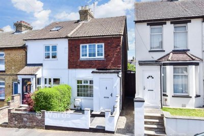
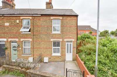
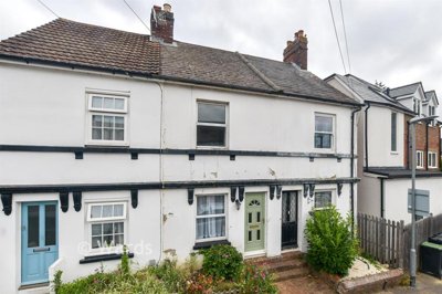
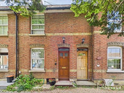
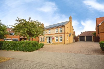
Heritage stock is a serious part of the local market. Tonbridge and Malling has 61 conservation areas, including Tonbridge, Hadlow, Hildenborough, West Malling and East Malling village. The borough also has around 1,400 listed buildings and structures. That affects marketing, because buyers need clarity on alterations, permissions, energy performance and maintenance rather than vague claims about age or style.
River and landscape constraints also matter. The River Medway runs through the borough, and flood risk is a live issue in parts of Tonbridge and the Medway valley. Haysden Country Park, the river corridor and local drainage policy all sit in the same planning conversation for some homes. Parts of the Kent Downs and High Weald protected landscapes fall within the borough, while North Downs Woodland and Peters Pit are Special Areas of Conservation.
- 61 conservation areas across the borough
- Around 1,400 listed buildings and structures
- River Medway flood-risk considerations
- Kent Downs and High Weald landscape constraints


 Ibbett Mosely - West Malling
-2d ago
Ibbett Mosely - West Malling
-2d ago